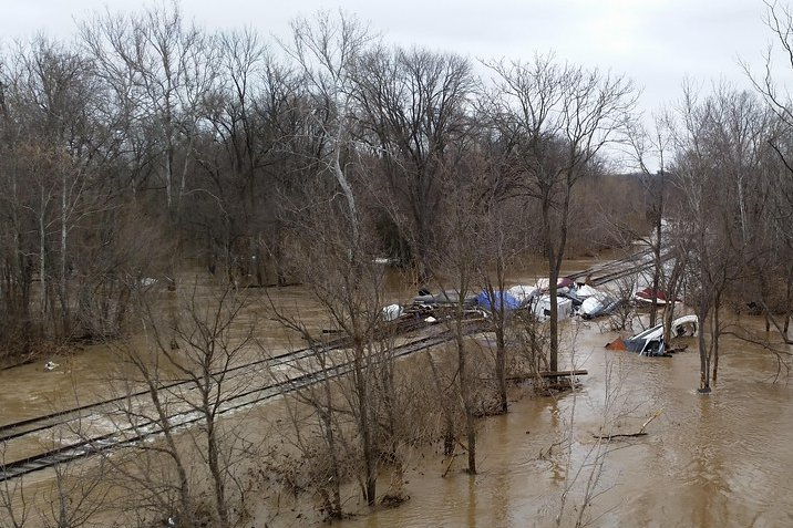
Florence, S.C. — Pee Dee communities are bracing for a soaking weekend as moisture from Hurricane Isaias wraps into northeastern South Carolina, with heavy rain, gusty winds and a chance of quick spin-up tornadoes on the forecast.
The National Weather Service Wilmington office issued a special weather briefing on potential impacts for northeastern South Carolina tied to the storm’s inland track after a Gulf Coast landfall.
Local forecasts call for most locations to receive 2 to 4 inches of rain, with lower totals farther inland but a soaking for nearly everyone. The heaviest rainfall is expected Saturday night into Sunday morning before showers taper Sunday.
Being on the eastern side of the circulation means gusty winds at times, with gusts around 30 mph. Forecasters also flagged a Level 1 severe weather risk Saturday for brief tornadoes in tropical rain bands, plus a Level 2 excessive rainfall risk.
Organizers across the Pee Dee and Grand Strand have already reshuffled weekend gatherings. Taste of The Market Common moved to Oct. 17, and the 43rd Annual Sweet Potato Festival in Darlington was canceled, though a related mahjong and bake sale remained on the schedule.
Residents were urged to allow extra travel time, avoid flooded roads and monitor updated briefings through Sunday as rain bands move through.