News Summary
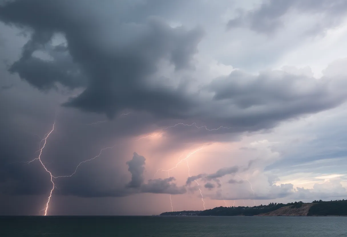
Severe thunderstorms struck the Lowcountry region of South Carolina, resulting in power outages for over 20,000 residents. High winds and pea-sized hail were reported, with gusts reaching 50 mph. The National Weather Service issued warnings as storms moved through areas including McCormick, Edgefield, and Aiken counties. Emergency services are on alert to respond to any further incidents as residents are advised to stay informed and safe.
Strong Thunderstorms Cause Power Outages for Over 20,000 Residents in Lowcountry, South Carolina
South Carolina experienced severe thunderstorms on Sunday, leading to power outages for more than 20,000 residents across the Lowcountry region. The National Weather Service (NWS) issued a severe thunderstorm warning effective until 6:30 PM, covering several areas including McCormick, Edgefield, and Aiken counties. The storms produced strong gusty winds, with reported gusts reaching up to 50 mph, prompting officials to warn the public of potential hazards.
Doppler radar identified a significant thunderstorm near Summerville around 6:01 PM, moving southeast at a speed of 15 mph. Residents within the storm’s path were advised to take precautions, including seeking shelter and securing outdoor objects, as winds were expected to pose a risk of knocking down tree limbs and causing property damage. Additionally, pea-sized hail, approximately 0.25 inches in diameter, was anticipated.
Some of the specific locations impacted included North Augusta, Grovetown, Evans, Martinez, and the Augusta Regional Airport, among numerous others. Major roadways, particularly segments of Interstate 20 and Interstate 520 in both Georgia and South Carolina, were also affected by the severe weather conditions.
During the storm, over 20,000 residents experienced power outages, as reported by Dominion Energy and Berkeley Electric Cooperative. Approximately 54 incidents were logged by power companies, leading to these widespread disruptions in service. The majority of outages occurred during the peak of the storm.
The chief meteorologist emphasized that the main danger from the thunderstorms stemmed from straight-line winds exceeding 60 mph, which were capable of causing considerable property damage. There was also a likelihood of scattered thunderstorms persisting throughout the evening, leading to cloudy skies after midnight.
The weather forecast for the day indicated a high temperature of 91°F with northeast winds ranging from 5 to 10 mph and a 70% chance of rain. As the evening approached, the low temperature was expected to settle around 74°F, alongside light and variable winds and a 50% chance of continued rain.
Officials highlighted that the thunderstorms posed a risk of minor damage to outdoor structures, urging residents to remain vigilant about their safety and the safety of their property. It is worth noting that thunderstorms in the U.S. are often accompanied by lightning, with an annual average of approximately 25 million strikes. These natural events can result in around 20 fatalities each year, particularly during the heightened thunderstorm season in the summer.
As the severe weather system moved through the Lowcountry, local emergency services remained on alert to address any further incidents related to the storms, ensuring citizens’ safety and minimizing damage. Residents are encouraged to stay informed through reliable weather updates as conditions may continue to evolve.
Deeper Dive: News & Info About This Topic
- Island Packet
- Wikipedia: Thunderstorm
- WXII 12
- Google Search: thunderstorm weather alerts
- Herald Online
- Google Scholar: severe thunderstorm impacts
- AL.com
- Encyclopedia Britannica: Thunderstorm
- Live 5 News


